Resources
Stay up to date with Chloris blogs, webinars, announcements, and other news, and download our white papers, validation documents, and recordings.Key documents


The new Net-Zero Standard makes room for landscape-scale action provided you can measure it
SBTi V2.0 gives FLAG companies a defined path to act at supply-shed and jurisdictional scale. The new flexibility is meaningful, but every integrity condition it comes with activity matching, conservative uncertainty quantification, independent assurance, is a measurement problem. Here's what the standard actually changes, and what it requires.

Introducing Biomass at Risk
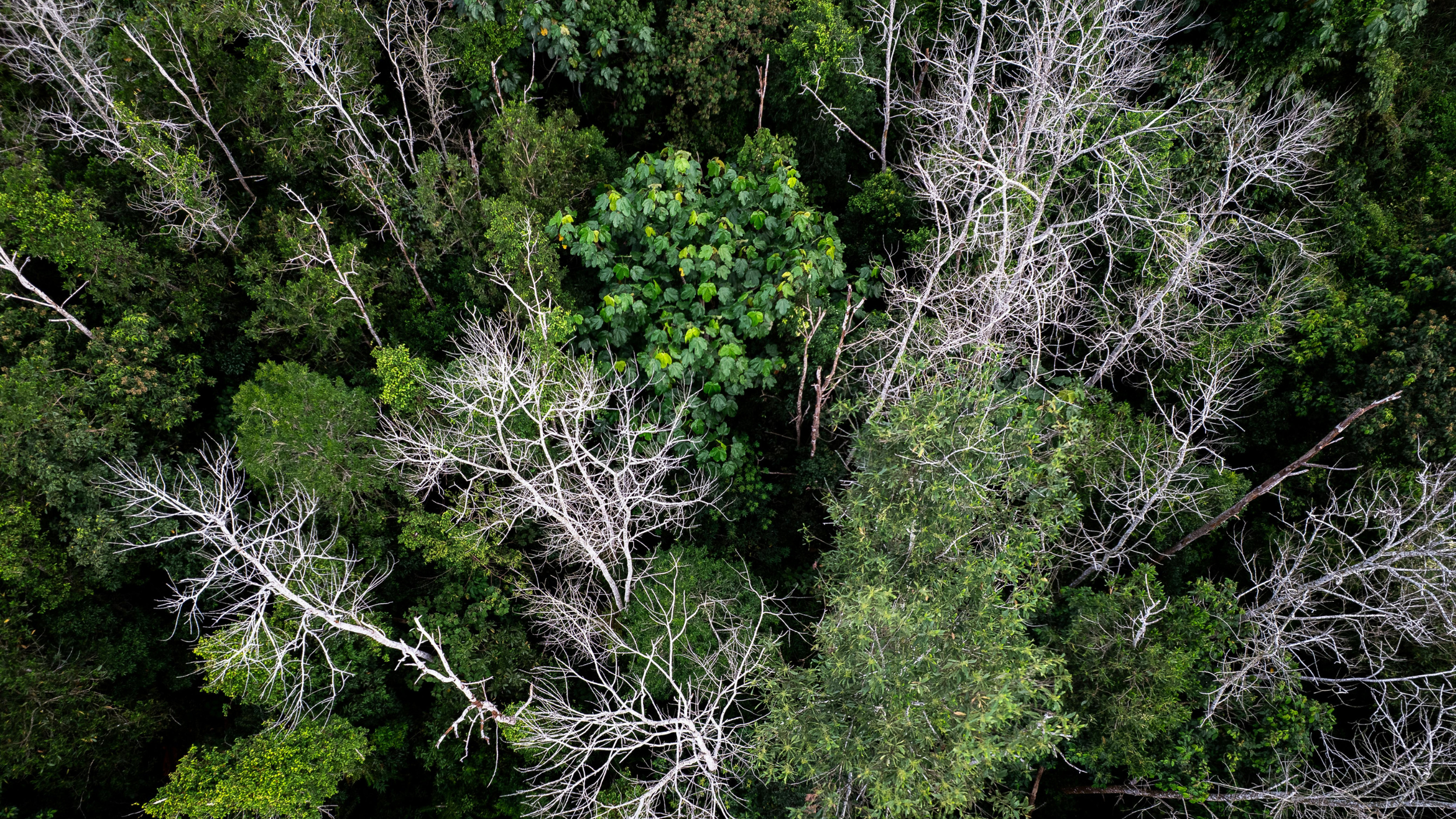
Forest carbon projects are built on a promise of permanence. But the threats to permanence can materialize in days, and the tools most project teams rely on to detect them were never designed to answer the question that matters most: how much carbon is actually at risk?
Financial Institutions Need a Geospatial Lens on Deforestation Risk
60% of the financial institutions most exposed to deforestation risk have no policy to address it. New net-zero standards are about to change that — and the measurement infrastructure they'll need is satellite-based.
Dynamic Baselining for Next Gen ARR projects: How Stocking Index Quality Drives Impact & Integrity
VM0047's performance method requires tracking carbon stock change year over year — but most common remote sensing metrics weren't designed to detect the subtle growth signal a dynamic baseline depends on. Vegetation indices saturate. Canopy height models miss structure and density. And not all validation is created equal.
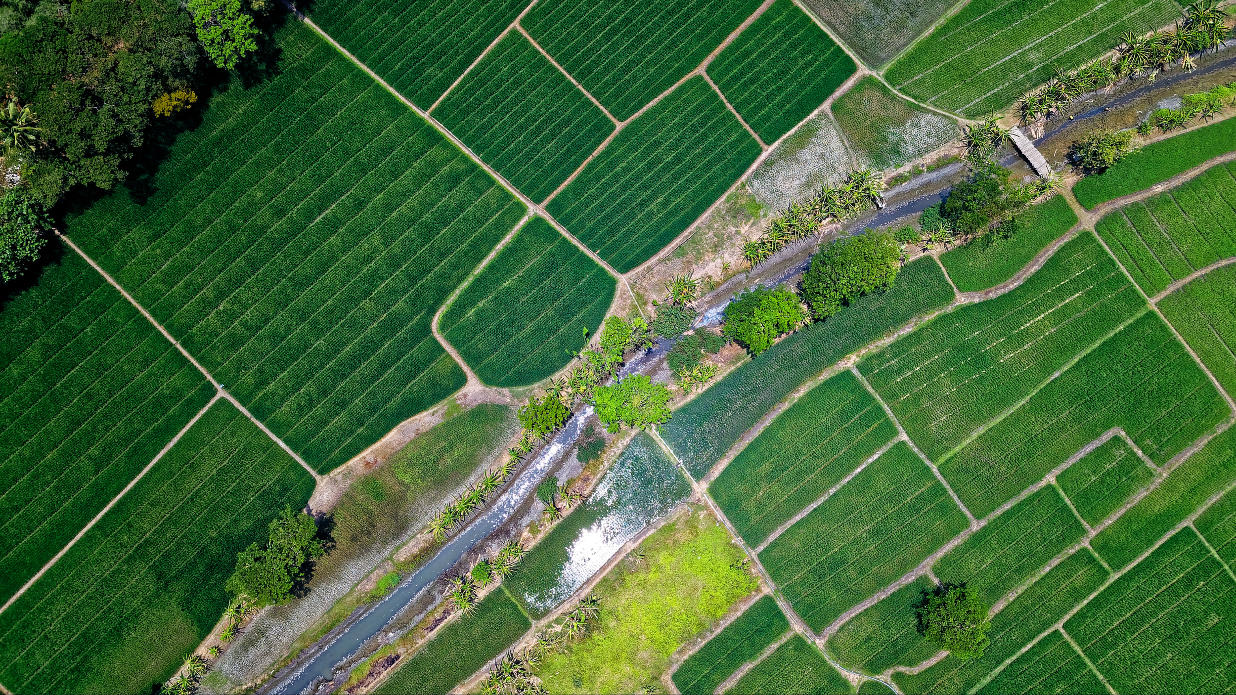
Getting to forest-positive supply chains
The Forest 500 report is out this week, and the headline is stark: of the 500 most influential companies in the global deforestation economy, only 4% qualify as leaders. This was supposed to be the year many of the biggest corporate deforestation pledges came due.
That number doesn’t surprise me. But it reflects a structural problem: we are still assessing companies largely in isolation from the landscapes they source from.
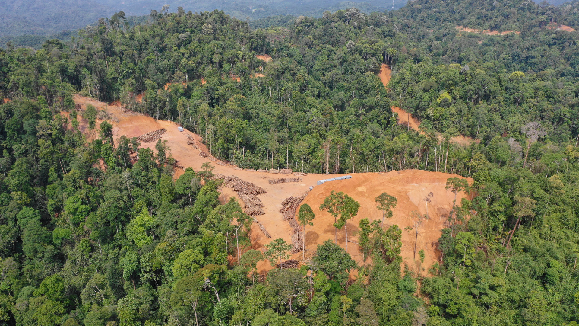
The Forest Carbon Problem No One Is Measuring (Until Now)
New analysis covering 25 years of pantropical above-ground biomass (AGB) data across 1,455 jurisdictions reveals a striking finding: the dominant driver of forest biomass loss isn't deforestation, it's degradation. And it's been systematically underreported because the monitoring infrastructure was never designed to detect it.
Four Open Questions in LSRS Implementation, and What We Think the Answers Should Be
As companies begin implementing the GHG Protocol Land Sector and Removals Standard (LSRS), they face several unresolved questions on key methodological issues.
This post reflects Chloris’s current interpretation of the LSRS. It is not legal or compliance advice, and we welcome discussion and pushback from others in this space.
25 Years of Forest Carbon Data. Now Free to Explore
Scaling investment in nature requires a shared evidentiary foundation. Carbon markets, jurisdictional REDD+, supply chain accountability frameworks, corporate nature disclosure, all of these depend on the credibility of the underlying data. And credibility is built through openness: transparent methodologies, independently validated outputs, and access broad enough that the data can be tested, challenged, and built upon.
We have always believed that the value of rigorous nature data compounds when more people can use it. The Biomass Viewer is an expression of that belief.
Choosing the Right Stocking Index for VM0047 Projects
Stocking Index (SI) selection shapes data stability, Performance Benchmarks, and VVB confidence. Getting it right ensures the data is working for you, not against you.Here's what you should know when selecting a Stocking Index for VM0047 projects.
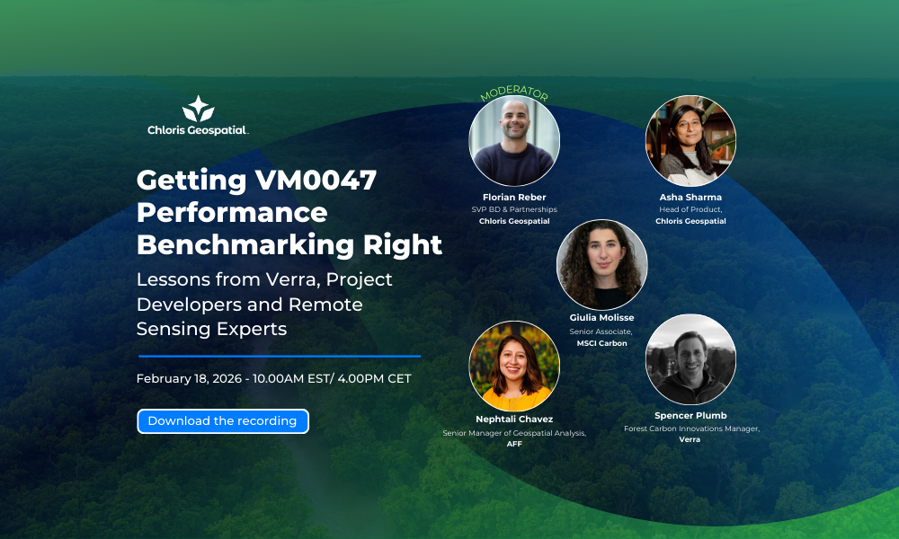
Getting VM0047 Performance Benchmarking Right
VM0047 brought baselining to ARR carbon credits, raising the bar for how projects set credible benchmarks, build donor pools, and demonstrate performance over time.
But in practice, implementation can be complex, requiring careful interpretation of the standard and confident use of geospatial data.
To help project teams get this right, Chloris Geospatial is hosting a moderated panel with Verra and leading organizations applying VM0047—American Forest Foundation and MSCI Carbon—to share practical lessons from real-world implementation.
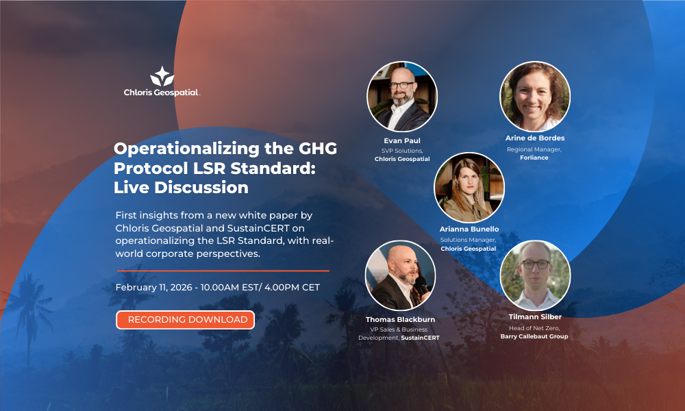
Operationalizing the GHG Protocol LSR Standard: Live Discussion
As companies prepare to implement the GHG Protocol Land Sector and Removals Standard, one question keeps coming up: What does credible, evidence-based land-sector accounting actually look like in practice?
In this webinar, we explored how satellite-derived biomass data can support FLAG reporting, what early movers are already doing differently, and how geospatial technologies can bring greater rigor and transparency to forest carbon accounting.

Chloris Geospatial partners with BeZero Carbon to strengthen global forest carbon measurement
Chloris Geospatial and BeZero Carbon announce a partnership to advance biomass estimation across forestry projects globally.

How Tropical Forest Countries Can Modernize Carbon Accounting—and Unlock More Climate Finance
Thirty years after the first COP, it's time for tropical forest countries to modernize carbon accounting. New technology makes it faster, cheaper, and more accurate than ever.

New Findings Support Increased Finance for REDD+ and Indigenous Land Stewardship
At Climate Week NYC, we convened a powerful discussion around how trusted science and Indigenous knowledge can build the foundation for climate integrity, together.
Our analysis demonstrates the impact of Indigenous stewardship on slowing forest loss.
But data alone is not enough: partnerships with local communities are essential to maintain this effectiveness, and climate finance must recognize and reward their role.
Read the insights in this article by Steve Zwick, based on Chloris data “New Findings Support Increased Finance for REDD+ and Indigenous Land Stewardship “.

What if REDD+ worked better than you thought?
In recent years, the effectiveness of forest conservation projects has been heavily criticized. New analysis by Chloris Geospatial now shows that in the Brazilian Amazon, REDD+ projects have contributed to slowing down climate change. Join this webinar to learn more about the work and hear from market participants on how biomass change monitoring can help unlock credible forest carbon finance at larger scale. Watch now.

Chloris Geospatial Raises $8.5 Million Series A to Scale Satellite-Based Forest Carbon Monitoring
Boston, July 2025 - Chloris Geospatial Raises $8.5 Million Series A to Scale Satellite-Based Forest Carbon Monitoring

Getting VM0047 Right: The Chloris Approach to ARR
ARR (Afforestation, Reforestation, and Revegetation) projects are on the rise as a powerful way to restore ecosystems and remove carbon. Learn how Chloris brings quality, robustness, and efficiency to the performance method and how we work with partners to streamline their VM0047 work.

Getting VM0047 Right: How Chloris brings quality, robustness, and efficiency to the performance method
Watch this webinar to see how Chloris brings quality and efficiency to ARR project development. Explore real-world examples and discover how a robust Stocking Index helps capture more additionality, enabling you to scale projects with confidence. Watch now.

Webinar recording: Deliver stronger VM0047-aligned Nature-Based Solutions with Earth Blox and Chloris Geospatial
Watch this webinar to see how Chloris’ above-ground biomass data in Earth Blox supports more accurate ARR project assessments. Watch now.

Earth Blox partners with Chloris Geospatial to expand forest carbon assessments and compliance solutions
Earth Blox, a leading provider of spatial intelligence for managing climate and nature-related risk and compliance, today announced a partnership with Chloris Geospatial, a pioneer in forest carbon data. This collaboration integrates Chloris’s premium, high-resolution above ground biomass data directly into the Earth Blox platform, enabling businesses to conduct comprehensive forest carbon assessments anywhere on the planet at speed and scale.